
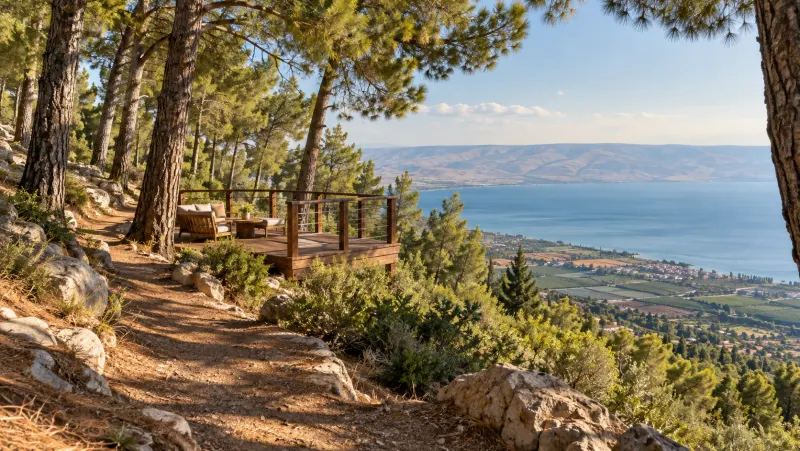
Render · for illustration only not an approved design
What the trust labels mean
Labels: In the approved plan written in the approved plan · Official record an official record · Reported reported in the press.
The Kinneret level
−213.70metres below sea level, 29.10.2026
Today the lake is 0.7 m below its lower red line. Pick a line to see it on the gauge.
Sources: Water Authority (opens in a new tab) · Kinneret Drainage Authority (opens in a new tab)
The lake today
29
On 29 October 2026 the Kinneret (Sea of Galilee) stood at -213.700 metres. Official record
0.7
That is 0.7 metres below the lower red line, set at -213.0. Official record
208.8
The upper red line, at -208.8, is still 4.9 metres away. Official record
213.720
In the days before, the water barely rose: -213.720 on 24 October, -213.705 on the 28th. Official record
214.87
The record low, -214.87, came on 25 November 2001. Official record
208.2
The record high, -208.2, was set on 27 January 1969. Official record
Read more (1)
Online measurements go back to September 1966. Official record
Beaches
In summer 2026 the lake had 34 declared bathing beaches, out of 160 in Israel. Official record
Sixteen of those nationwide are separate-gender. Official record
Ganim
The city's own beach. Its small northern strip is declared and open all week; the southern part, home to Aqua Fun, is closed to swimmers. Reported Entry and parking are free. Reported
Shkamim-Berniki-Tsinbari
Three merged beaches form the longest strip on the lake, in its south-west corner. Reported The Kinneret Cities Association runs it, and parking is ₪5 an hour. Reported
Private beaches
2025 prices: Sironit ₪50; Namos, beside the Hamei Tiberias spa, ₪30 from age 10. Pralia, formerly Green, at the northern exit, is now free. Reported
Trails
The Israel National Trail and the "Tzofe Kinneret" bike route follow the upper road on the Swiss Forest slope. Official record
KKL has also marked a single track through the woods. Official record
Further north it crosses the Arbel; from the north, the red trail climbs to the car park. Official record
3111
The black-red cliff loop, 3111 and 3112, is one-way. Official record
The Swiss Forest
What it is
The Swiss Forest covers about 3,000 dunams of steep KKL slope from the Poria plateau to Tiberias and the lake. Official record Tiberias Illit lies to its north, the Poria hostel to its south. Official record The Jewish community of Switzerland helped plant it. Official record
Its ridges rise over 400 metres above the water, facing the Golan, the Hermon and the Galilee hills. Official record
What is there
A narrow 6 km scenic road is open to all cars, with parking only in the bays. Official record Along it: viewpoints, picnic sites, an overnight camp site and play equipment. Official record The main lookout became a "floating" basalt deck in June 2022, beside the Keshatot and Psagot viewpoints. Official record
Ein Poria, or Ein Kadesh, is its spring. Official record Entry is free, dogs are banned, and picnic sites are accessible. Official record
Getting there
From the south: road 7677, turning at the Poria hostel. From the north: Route 77, Sderot Sapir, then Shaked Street, which becomes Ma'ale KKL. Official record
And the neighbourhood
Moshava B climbs the Poria ridge between the forest and Route 768. In the approved plan On its eastern edge the plan sets a city park and promenade by the hotels. In the approved plan
Further afield
- 4,968Yavne'elOfficial record
- 3,774Kfar KamaOfficial record
- 1,723Poria Neve OvedOfficial record
- 1,531Poria IllitOfficial record
- 924Kvutzat KinneretOfficial record
- 723Kinneret moshavaOfficial record
- 439Poria Kfar AvodaOfficial record
Mount Arbel
The Arbel cliff towers over the lake, facing the Golan, the Hermon and the Galilee hills. Official record
The park takes in Mount Nitai, Mount Savyon, Nahal Arbel, two ancient villages with synagogue ruins, a Great Revolt wall and a cliff fortress with caves. Official record
Entry ₪31, children ₪16; visit slots can be booked ahead. Official record
Hamat Tiberias
At the southern exit of Tiberias: an ancient synagogue mosaic, hot springs and an 18th-century Turkish bathhouse. Entry ₪16, children ₪7. Official record
Neighbouring communities
ICA, the Jewish Colonization Association, founded Kinneret moshava in 1908 beside Kinneret Farm. Official record
Poria Illit began as a farm in 1912 and was refounded in 1955. Official record
Figures are residents registered on the Population Registry, October 2026 update.
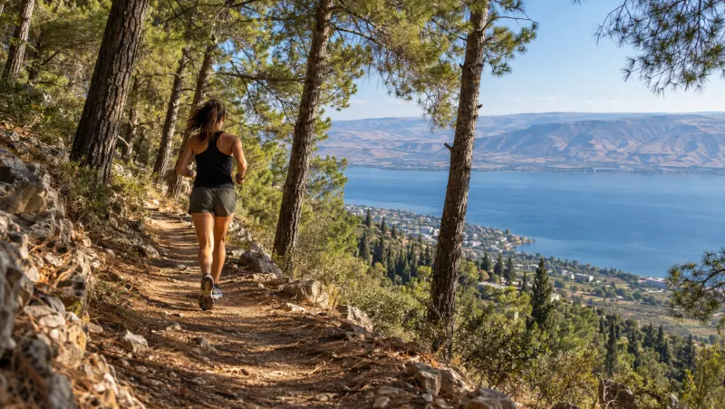
A run in the Swiss Forest.
Render · for illustration only not an approved design
What's new in the Moshava?
Tenders, permits and planning. A message when there is news.